
Flagship projects
Study and mapping of coastal erosion risk in Collioure
Study conducted within the framework of the "Climate and Resilience Act"
Project
description
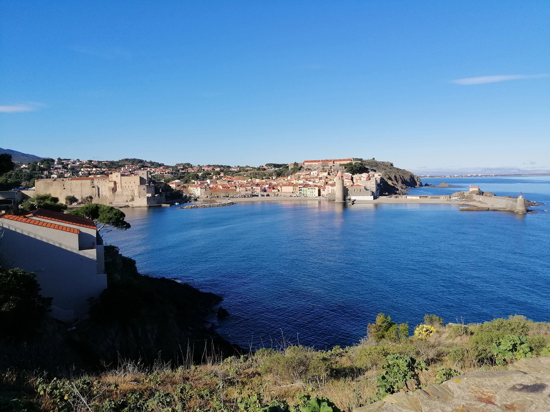
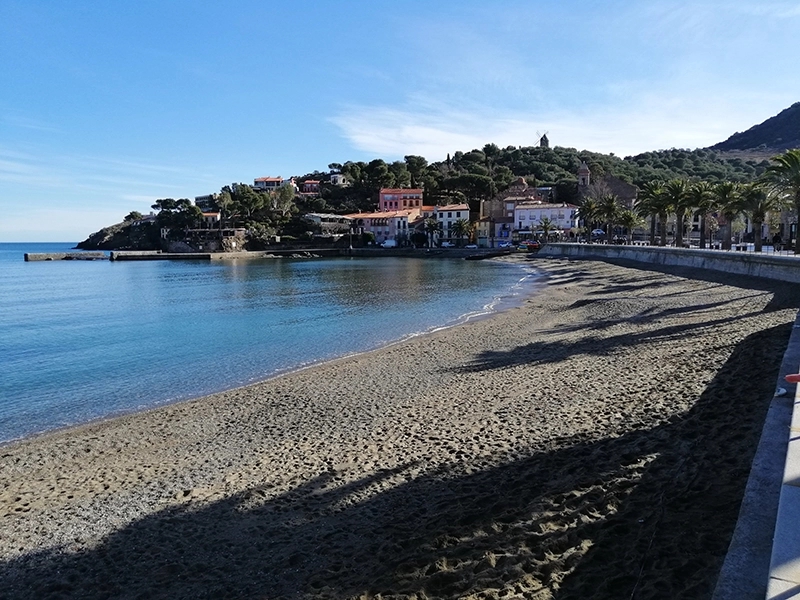
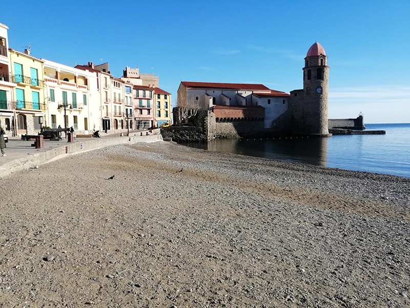
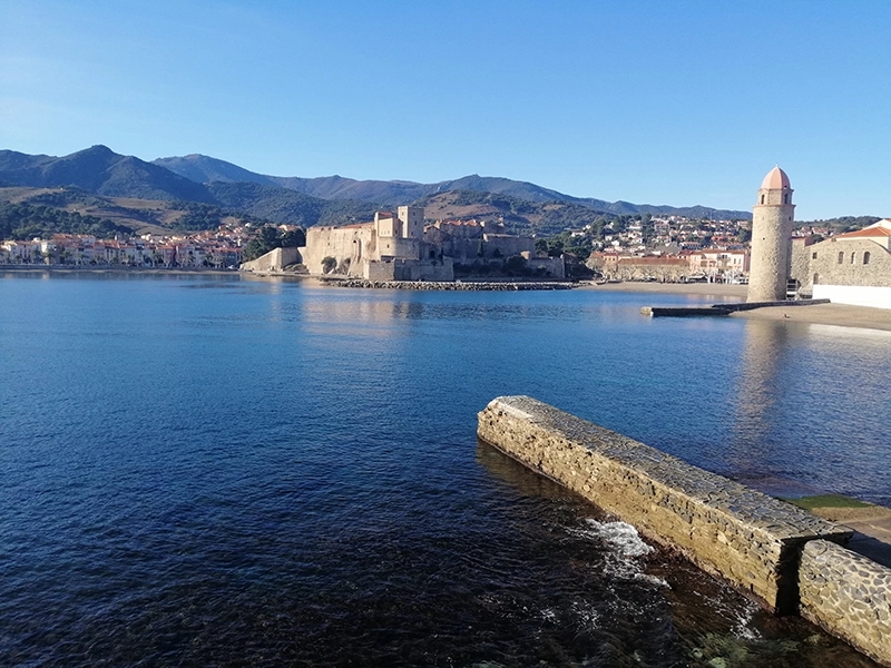
As part of the French Climate and Resilience Act, BRLi is assisting the municipality of Collioure in the Pyrénées-Orientales department to produce a local map showing the coastal erosion exposure of its territory. The aim of this mapping exercise is to identify areas exposed to coastal erosion in the medium (30 years) and long term (100-year timeframe).
Missions
& Services
The tasks carried out by BRLi are as follows:
- Collection and analysis of all basic data on coastal erosion and summary of coastal functioning.
- Studies of coastline projection (diachronic analysis) and definition of coastline evolution scenarios.
- Mapping of coastline evolution scenarios taking into account chronic evolution trends, event-related retreats, the impact of structures, and climate change.
- Transposition into the urban planning document.
Contact
Send a message