Loading the page
Studies for the prevention of submersion, estuarine flooding, and coastal erosion
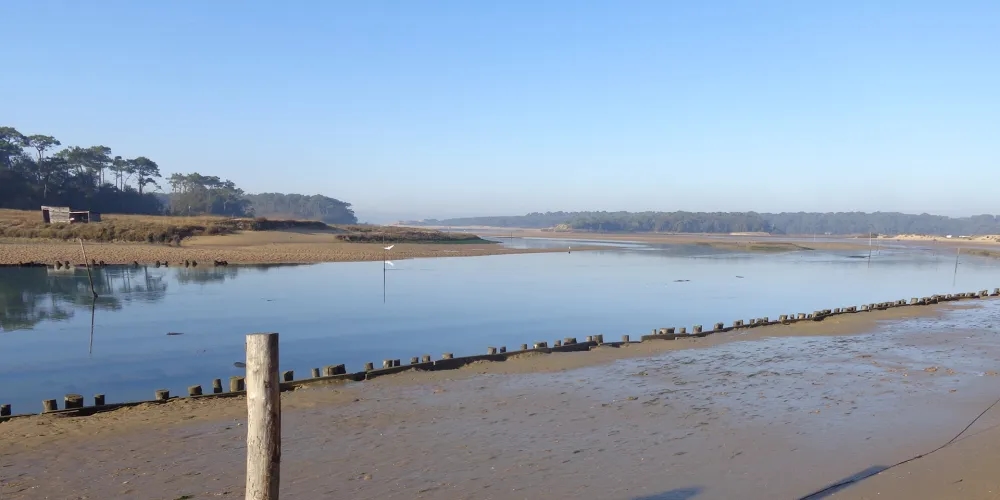
In a context of climate change and rising sea levels, the Marais du Payré region, covering the municipalities of Talmont-Saint-Hilaire, Jard-sur-Mer, and Saint-Vincent-sur-Jard, has launched an initiative to better prevent river and maritime risks and anticipate its adaptation. To this end, BRLi has developed a comprehensive Flood Prevention Action Plan (PAPI) covering river flooding, coastal flooding, and coastal erosion. The PAPI is a strategic and operational tool that combines local consultation, territorial diagnosis, strategic guidelines, and concrete action planning.
Phase 1 – Assessment of the area This first stage involved conducting field visits, interviews, and data collection, supplemented by a literature review. It enabled us to identify the physical challenges, existing structures (particularly marsh dykes), and the prevention and forecasting measures already in place.
Phase 2 – Additional studies Topographic and bathymetric surveys were conducted to refine knowledge of the territory. Hazards related to river flooding, marine submersion, and coastal erosion were modeled.
Phase 3 – Identification of issues This phase was based on field surveys to identify the human, economic, environmental, and heritage issues present in the exposed areas.
Phase 4 – Development of the PAPI A comprehensive risk management strategy was defined, accompanied by a structured action plan. Multi-criteria analyses were conducted to prioritize the proposed actions.
Phase 5 – Governance The governance framework was formalized in order to structure the management of the PAPI at the inter-municipal level and ensure the effective implementation of the system.
Phase 6 – Support for certification Support was provided throughout the PAPI certification phase to ensure that the application complied with national requirements.