L’ingénierie au service d’un monde durable
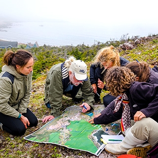
Nous mobilisons nos talents pour un développement des territoires respectueux de leur écosystème
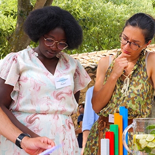
Une expertise innovante, reconnue en France et à l’international
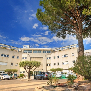
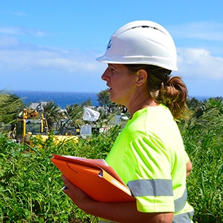
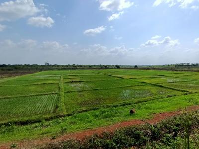
BRL Ingénierie est un bureau d'études spécialisé dans les domaines liés à l’eau, à l’environnement et à l’aménagement du territoire.
- 0
projets en cours
- 0
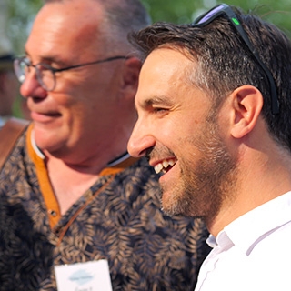
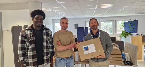
personnes dont 45% de femmes
- 0
% des clients prêts à recommander BRLI
- 0
millions d'euros de chiffre d'affaires en 2022

Domaines d’activité
Memberships


Pourquoi nous rejoindre ?
Préserver, développer et valoriser en France et dans le monde, de manière responsable, l’eau et l’environnement pour assurer les conditions d’une vie meilleure, en préservant la biodiversité et en intégrant les menaces liées au changement climatique...